Wildlife conservation depends on accurate data collected at reasonable cost and speed. Unmanned...
The Most Intelligent Way To Protect Your Assets
The aerial monitoring solution of the future, in operation today.
Revolutionizing the way aerial data is:
Aquired
We fly the right vehicles to acquire the data the customer needs.
Analyzed
See analyzed aerial images and areas of interest along with long-range assets in SkyVision®.
Actioned
Actionable information to address and monitor critical issues identified by your aerial data.
What do we have to offer
Have a look at why we are the leading aerial data technology company.

SkyTwo UAV
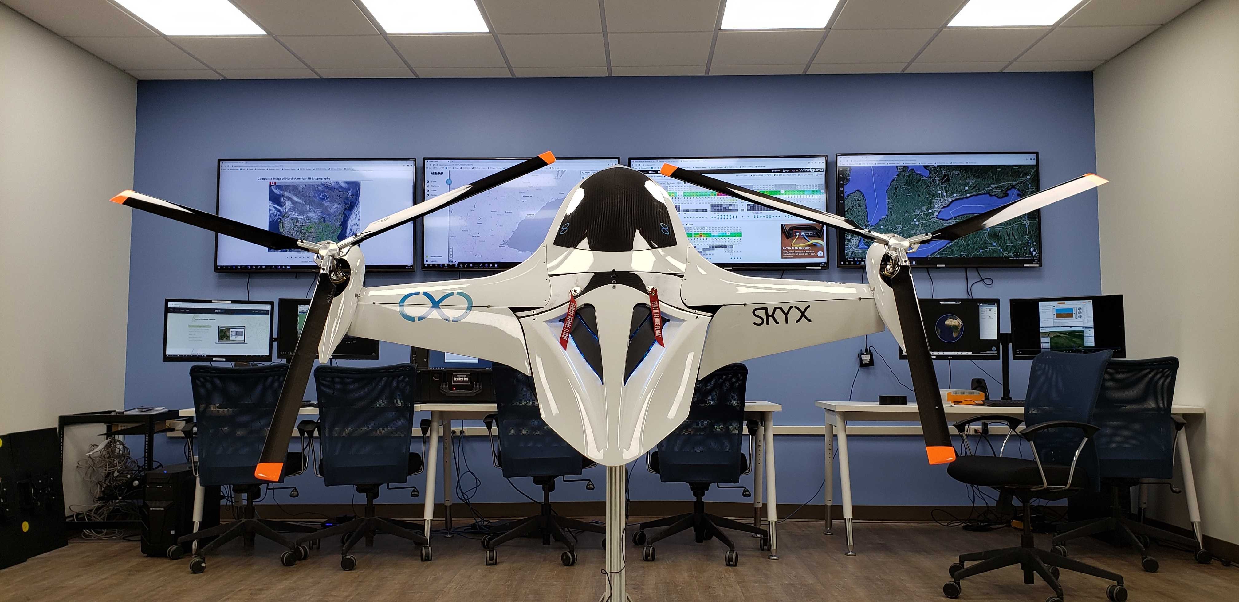
Our patented fixed-wing VTOL (Vertical Take-off and Landing) UAV is designed to fill a gap in the market for long-range flights with hover capabilities.
SkyVision®
Our system allows you to easily identify, monitor and take action on areas of interest along the assets. It provides companies with predictive modeling for better decision-making.
%20(1).png?width=1918&height=1080&name=image%202%20(1)%20(1).png)

SkyX Team
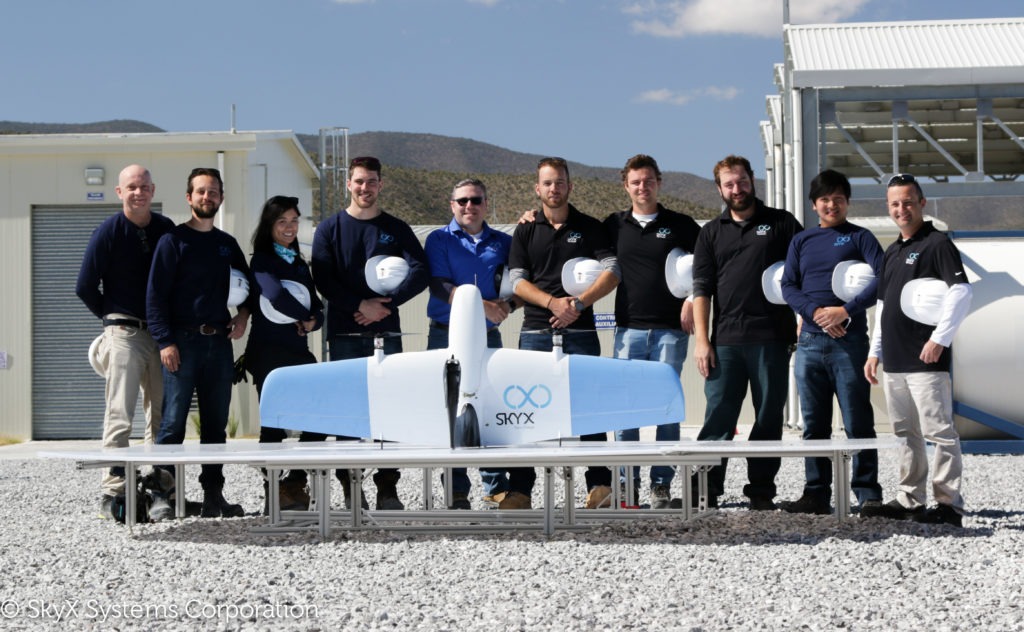
Our exceptional team of aeronautical, robotic, and electrical engineers works shoulder-to-shoulder with certified pilots, mission control directors, and data analytics to create breakthrough solutions, unlike any others.
Latest Blog Posts
Read our new articles to learn more about the world of aerial data. 🛰️
Source: Unsplash From the earliest refining processes to modern offshore rigs and pipeline tools,...
See the SkyX solution in action
Discover the most intelligent, proactive, and innovative method to monitor your pipelines and detect potentially critical issues - before they happen.
Contact us
Complete the form to learn more about our innovative turnkey solution.
