
Pipelines across the United States are getting old. According to reports by the Pipeline and...
Since the year 2000, the Pipeline and Hazardous Materials Safety Administration’s (PHMSA) Significant Pipeline Incidents report shows that the industry is struggling to create a consistent year-to-year reduction in fatalities and injuries. In 2019 alone, over 12 lives were lost and 35 people were seriously injured in pipeline incidents.1 Sometimes, looking at figures like this, you might feel like you’ve hit a plateau. With all the measures, procedures, and systems you’ve already put into place – what more can you possibly do to overcome this hurdle?
Aerial data platforms for inspecting your pipeline – that leverage autonomous technologies such as Artificial Intelligence (AI) and Unmanned Aerial Vehicles (UAVS) – can get you in front of persistent pipeline safety issues, with better visual intel.
UAVs Gather Data in a Way That Protects Your Staff
A UAV serves as a way to automate visual inspection of your right-of-way (ROW). While this greatly improves the data you use to monitor your pipeline in the long-term, it also allows you to keep your staff out of danger in an active leak scenario.
SCADA is the current name of the game for leak detection along oil & gas pipelines, but this technology doesn’t always provide the complete picture. You can monitor the flow of product along your pipeline, detect any disruptions indicative of a leak, and determine which general segment of the pipeline is affected – but you can’t pinpoint the exact location of a leak. That final unknown is where the risk to your staff continues to endure.
This leaves your staff virtually blind in their response efforts, which is a major risk when they’re heading into a potentially volatile situation. However, aerial data systems can fill this gap, acting as a first response to gather visual intel on the situation. When a SCADA alert sounds, you can dispatch a UAV to perform a rapid response survey of the affected pipeline segment. With visual confirmation on the nature of the leak and precise coordinates of its location, your team can follow-up far more safely and effectively. Here’s a more extensive look on how to visualize your pipeline SCADA data with an aerial data platform.
Next, let’s look at how a UAV’s routinely-sourced, consistent data sets can be used by AI to tackle safety issues along your ROW.
Object Detection: Intercept External Threats to Pipeline Safety
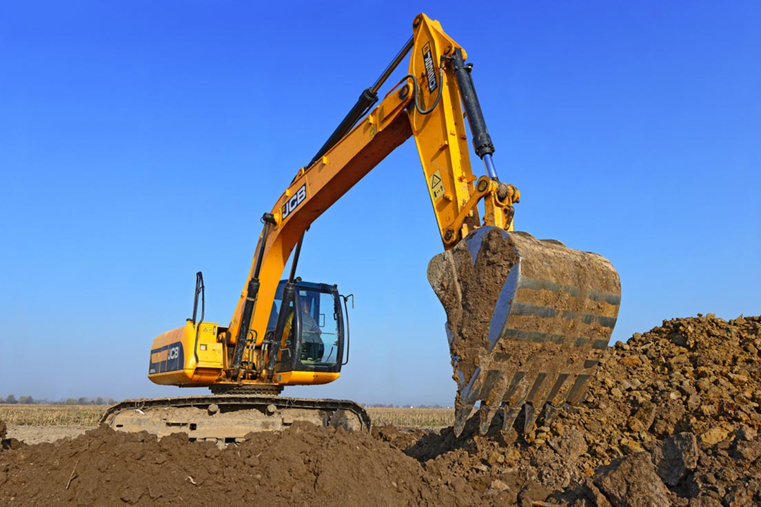
PHMSA’s Significant Incident Report shows there are persistent threats to pipeline safety. One such threat, that an aerial data platform can help you eliminate, is damage to your pipeline by external forces. In 2019, incidents arising from third-party excavation accounted for 25% of fatalities and approximately 23% of injuries over the year.2
Consider the methods you currently use for pipeline monitoring. Are they adequately addressing this issue?
In-line leak detection systems will only alert you after the damage has already occurred. On a natural gas pipeline, with a long distance of separation between sensors, a detection can take 12 minutes to 2 hours depending on the severity of the leak.3 In other words, a backhoe might be digging into your pipeline, and you might not be aware of it until it’s escalated into a destructive incident.
Meanwhile, current methods of visual inspection tend to be too costly and laborious for pipeline operators to implement on a routine basis. Whether it’s a plane or helicopter, ground vehicle, or a person walking the pipeline – you’re likely not getting a set of eyes on your ROW as much as you should be.
This is where the combined power of AI and UAVs really starts to manifest. Remember how a UAV can visualize your entire ROW on a routine basis? Well, AI can analyze it for the actionable issues that you need to address. Visual object detection and categorization analysis can easily flag things like a piece of construction machinery, vehicle, person, or even a newly-dug trench. With these technologies working in tandem, sourcing, and refining data within a single platform, you have a far more reliable chance of spotting threats to your pipeline before they cause a serious incident.
Change Detection: Catch Developing Issues
You might be thinking, “Why do I need AI to scan through the imagery of my ROW? I’m sure a member of my staff could do that!” Two reasons:
- AI will turnaround the data much faster. From a single inspection of a 25-mile segment of the pipeline, it can take a team of multiple people almost a week to analyze and annotate each photo. AI can finish the job in a matter of hours.
- AI can spot issues that will likely go unnoticed by the human eye, thanks to change detection capability. While simple object detection and categorization are great for getting eyes on obvious issues along your ROW – change detection can help you spot the little things that can lead to big problems.
From inspection-to-inspection, AI will visually compare new and historical data sets and flag actionable changes that are occurring. Issues like increasing decay of vegetation or a growing pooling liquid can go easily missed by the naked eye until it’s too late. With change detection analysis, you can spot them early. Keep in mind, for laser-sharp precision in change detection analysis, you can use more than just pictures. AI can also utilize Advanced Digital Elevation Models (DEMS) and LiDAR point clouds to track changes in terrain, ground surface, or even the growth of vegetation with accurate measurements.
Learn How to Leverage This Data for Predictive Analytics
In this article, we’ve covered the immediate benefits of implementing an aerial data platform into your pipeline integrity management program. You can protect your staff in active leak scenarios and use AI-driven insights to identify issues before damage occurs. But, what if you could use this data to understand the causes, effects, and potential futures of incidents along your pipeline? Well, you can!
In next week’s SkyX blog article, we’ll be covering how you can develop predictive models that will revolutionize how you manage pipeline safety. Be sure to give it a look!
Have questions about how high-quality aerial data can elevate your organization?
Contact our team to discuss your unique challenges and data requirements.
References
- Pipeline Significant Incident 20 Year Trend, Pipeline and Hazardous Materials and Safety Administration, 2020
- Significant Pipeline Incidents By Cause, Pipeline and Hazardous Materials Safety Administration, 2020
- The challenges for effective leak detection on large diameter pipelines, ATMOS International, 2019