
In last week’s article on UAVs for Border Patrol, we discussed how re-thinking UAV deployment with...
If you reduce an Unmanned Aerial Vehicle (UAV) to its absolute core function, it boils down to delivery. While most think of packages from Amazon, in the geospatial world, this takes the form of sensor delivery. A UAV takes a sensor where you need it to collect data. Like a flow rate sensor in an oil pipeline, a current measurement device on a power transmission line, or that Fitbit you wear to keep track of your steps everyday – a UAV can serve as an autonomous sensor that continually gathers the information you need. From your control room, the only responsibility left in your hands is to interpret the data for meaningful action.
While the effectiveness of a UAV in getting a sensor where it needs to be is paramount, the choice of sensor that you’re mounting to the underside of the fuselage is just as important. There are a variety of sensors available today that can gather advanced data from across and beyond the visual spectrum. So, how can you choose the right sensor to supercharge your aerial monitoring efforts?
Three Key Sensor Technologies in Real World Use
In love, life and remote sensing – it’s good to have an idea of what you’re looking for. Let’s take a look at what data these sensors capture, why it’s valuable, and some example use cases:
Infrared – Not Just a Cheesy 80’s Action Movie Effect
More popularly known as thermal imaging, these sensors detect radiation in the infrared spectrum to measure the temperature of physical objects as well as objects that absorb and reflect infrared light differently. While the cut-and-dry ability to monitor temperature is important in many scenarios, thermal imaging can also expedite the detection of objects and anomalies that may be hard to identify with the nkaed eye. Examples of infrared use cases include:
- Detection of leaks along an oil or gas pipeline: Remember how different fluids absorb and reflect infrared light differently? An oil slick on the water is a great example of this. Consequently, infrared sensors are ideal for monitoring oil pipelines that are near bodies of water. Not to mention, natural gas leaks are very difficult to detect visually, whereas an infrared camera can use thermal data to identify the plumes.
- Monitoring for track warping along a rail line: When a rail is subject to extremely hot weather, the rail begins to expand. In this state, a passing train can cause the track to buckle, leading to a derailment. To keep things on track (pun intended), you can monitor the variations in temperature along the track with an infrared UAV sensor. With these insights, railway operators can slow or divert traffic to reduce stress on the track, and reduce the chance of buckling.
- Search and rescue operations: When searching for a person in the wilderness or after the sun has gone down, obtaining visual confirmation can be difficult. However, if there’s one thing that all people are great at, it’s emitting body heat that is easily detectable with an infrared sensor. This is a great example of how the value of a UAV is multiplied by its sensor. A highly-autonomous drone system can perform a methodical grid survey of a forest area where someone has gone missing, while the infrared sensor makes it easier to see the person through the trees.
LiDAR – The Magic of Lasers and 3D Models
Light Detection and Ranging (LiDAR) sensors emit invisible laser pulses onto the terrain below during flight. Don’t worry, these aren’t like the lasers you see in Star Wars or Star Trek. The return pulses are picked up by the sensor which records the distance measured at that point. When the survey is complete, all of these points are collated into a point cloud, which is essentially a raw 3D representation of the survey area. From this point cloud, we can create highly accurate 3D models for analysis. LiDAR sensors are valuable for:
- Forest conservation: Because each pulse of the LiDAR’s laser can produce multiple returns as it reflects back off of different layers of vegetation and the forest floor, a LiDAR system is able to gather more information about the shape and density of the canopy itself, as well as the ground below it. This is valuable for understanding the structure of the forest, as well as other key environmental attributes.
- Accurate tracking of geological processes along a right-of-way: Erosion and sinkholes can adversely affect energy assets and infrastructure – such as exposure of a buried oil pipeline. Changes in ground elevation and surface features that may be hard to detect visually from above can be made readily apparent with LiDAR data.
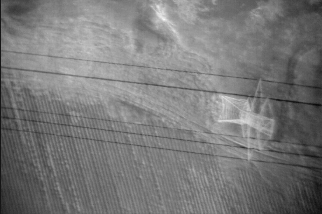
- Modelling of complex structures: In the case of a power transmission line, A LiDAR system is capable of providing accurate 3D-models of transmission towers as well as the power cables themselves. Transmission lines are a lot like your pants, you really shouldn’t let them sag. With a LiDAR-driven model, you can precisely measure transmission line sag and encroaching vegetation to decide when to make remediation efforts.
RGB Cameras – A Picture is Worth a Thousand Words
There’s value in simplicity, and sometimes a high-resolution picture provides all we need for analysis. Aside from the value of time-stamped and georeferenced imagery logged in a GIS system, images from an aerial survey can be stitched together for a 2D orthomosaic or processed into a simple 3D model. Standard RGB imagery is valuable for:
- Monitoring for third-party activity on an asset right-of-way: With a birds-eye-view, it’s much easier to spot telltale signs of external disruptions such as persons, vehicles, construction, debris, and other evidence of activity.
- Mining surveys and site inspections: UAVs provide a great opportunity to reduce worker involvement in dangerous mining sites and assess the need for maintenance. Cranes, blasting areas, haul roads, and stockpiles – a UAV with an RGB camera can frequently inspect these areas to ensure everything is up to par. For further value, these pictures can be transformed into all-encompassing orthomosaics or digital terrain models for more in-depth analysis.
- Rail line inspection: We touched earlier on the value that an infrared sensor offers in monitoring for track-warping temperatures, but this thermal imagery is providing a limited subset of information. You need high-resolution photos in tandem with this thermal data to precisely monitor the track geometry itself for warping, buckling, settling, etc.
All of these sensors help to visualize data in their unique way. Picking the right one for the job starts with defining your data goals for your aerial monitoring program and working backward from there.
Turning Sensor Output into Actionable Insight
In the course of a long-range aerial inspection, each of these sensors will be generating vast amounts of raw output for analysis. How do you make sense of it? The beautiful part of UAV remote sensing is that it can be a highly-autonomous, consistent process – that facilitates accelerated analysis through AI algorithms. The UAV can fly a pre-programmed flight path on a routine basis, following precise coordinates at a precise altitude capturing optical data at precise intervals. AI algorithms thrive on copious amounts of data, and the system can utilize a baseline inspection to perform change detection analysis on each subsequent data set.
The AI algorithm flags anomalies and submits them for final verification by a human subject matter expert. Through this process, we can identify the critical points of data that are valuable to your operation. With time, these data points can unlock access to predictive analytics that forecast anomalies happening around your assets, infrastructure, and remote operations.
UAV remote sensing helps you to gather the data you need to manage your assets from afar. The right sensor can supercharge the insights you can derive from each inspection, while a highly-autonomous solution can make sure you’re getting the in-flow of valuable data you need to make intelligent and informed decisions.
Have questions about how high-quality aerial data can elevate your organization?
Contact our team to discuss your unique challenges and data requirements.